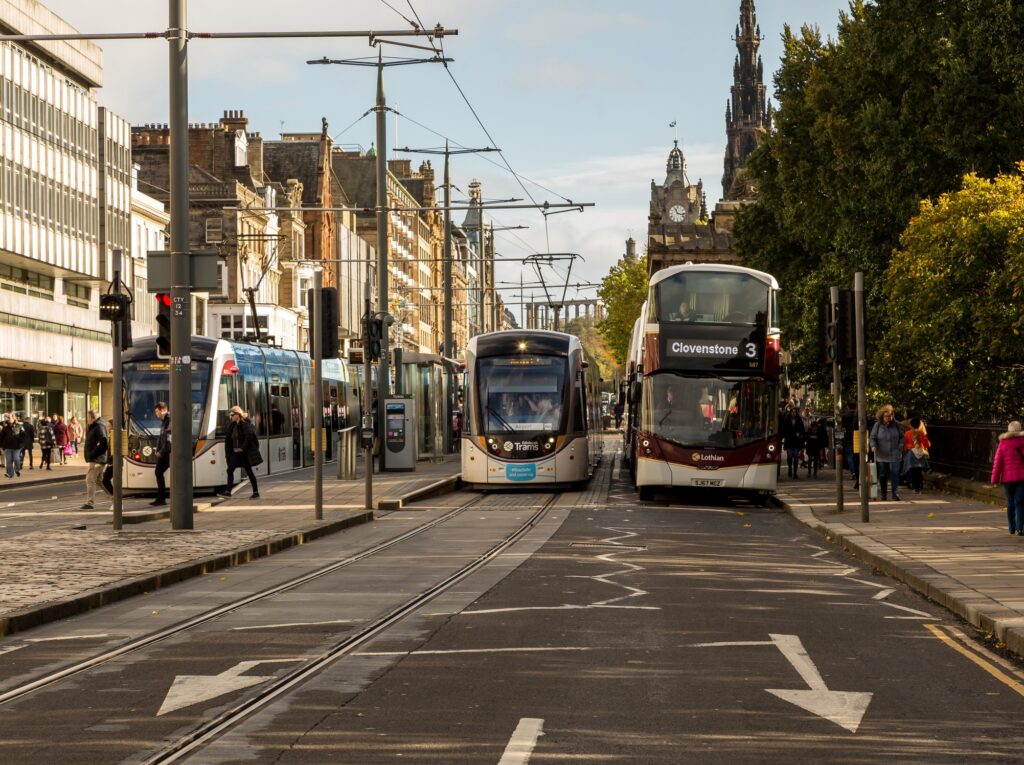
Edinburgh City Council has unveiled a digital on-street bus tracking system – with its API open to developers to create new apps and services.
All of the city’s 322 new digital trackers are now displaying real-time travel information, as well as 42 signs in Midlothian and six in West Lothian.
Transport planners hope the new system will make it easier for passengers planning journeys within, to and from Edinburgh.
Thee displays offer live departure information and will soon offer details of diverted routes and service disruptions for multiple transport operators, including train and air travel at key locations.
A further 100 signs will be installed at new locations across Edinburgh and screens will continue to be connected across South East Scotland, combining efforts to make travel throughout the region consistent.
Integrating open access to Edinburgh Travel Tracker API, developers and third parties will be able to use data from the displays for their own apps and services and the Council will monitor and fine-tune the service to keep it accurate and up to date.
Councillor Stephen Jenkinson, Edinburgh’s transport and environment convener, said: “We’ve been planning to roll out our new travel trackers for some time so I’m really pleased to have the displays up and running.
“It has been a complex exercise to integrate all our systems, and we have needed to go through a process of testing and developing fixes, but we’re confident we now have a strong system in place. This is real-time data that will make journeys easier to plan for all passengers.”
