
Geosciences and informatics combine
A smartphone app could allow people living in some of the world’s worst earthquake hotspots to know whether their homes are at risk of collapse.
The digital platform being developed at the University of Edinburgh would capture data from seismic detectors and relay it directly to devices with precise GPS information about local risk.
That information could then be used by occupants to address structural issues in their buildings, to make them more resistant to the kind of quakes that devastated parts of Italy recently.
Smartphones themselves could become earthquake monitors because they contain gyroscopes and accelerometers, which are used by seismologists.
Professor John McCloskey, a geophysicist at the university’s school of geosciences, said: “We are very much at the development stage. But we have put together a really great team from geosciences and informatics, as well as education and social sciences backgrounds, who are working on the project.”
The software is being developed in partnership with the university’s Edinburgh Parallel Computing Centre.
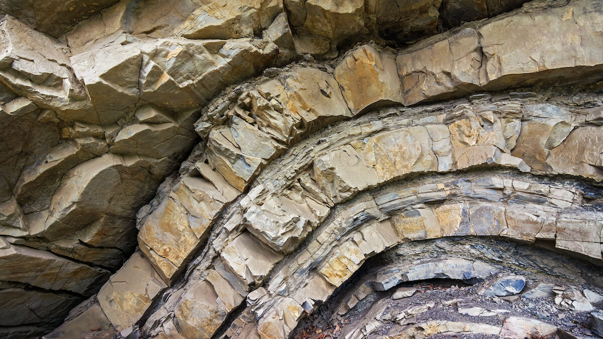
The students were able to model geological structures based on observations they made from 3D visualisations of rocks © Brum / Shutterstock